Log in
All resources
Create a design
33,167 Free Images of 1552 Maps
maps made in the 17th century
maps made in the 18th century
gerard valck
atlantis magni tomus tertius (biblioteca comunale di trento)
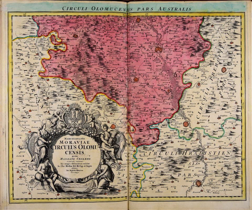
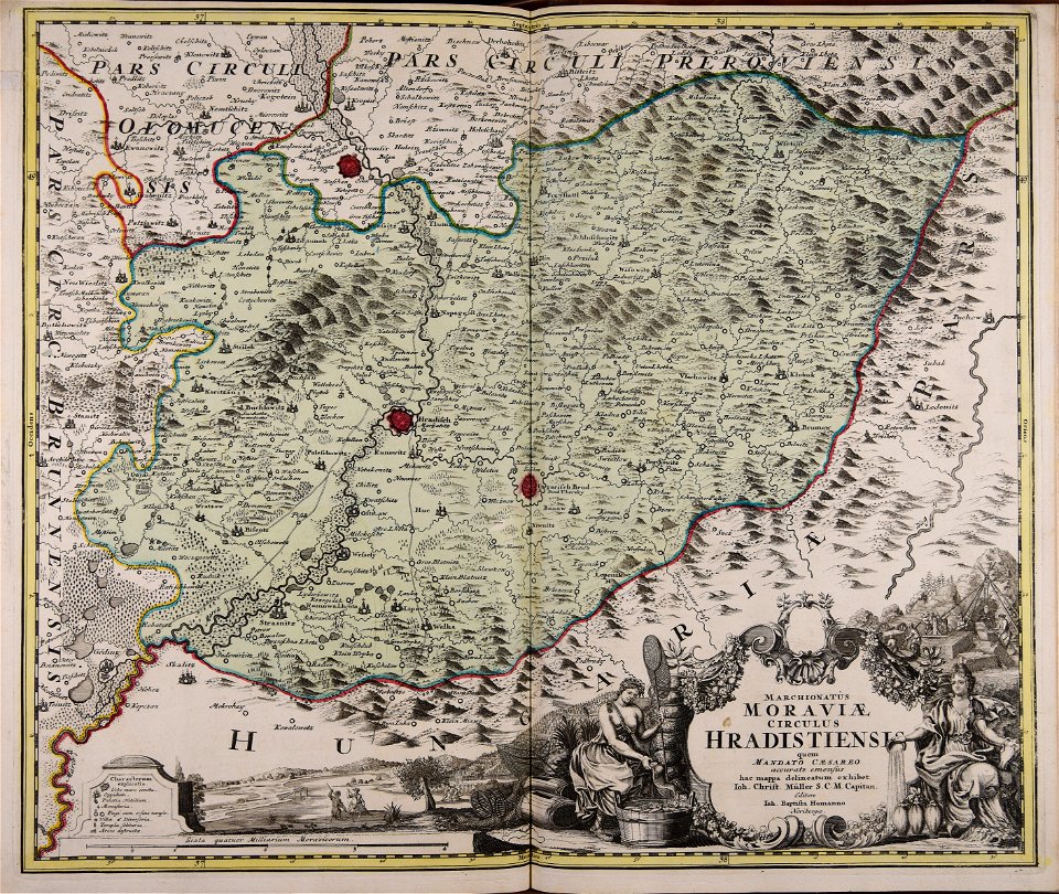
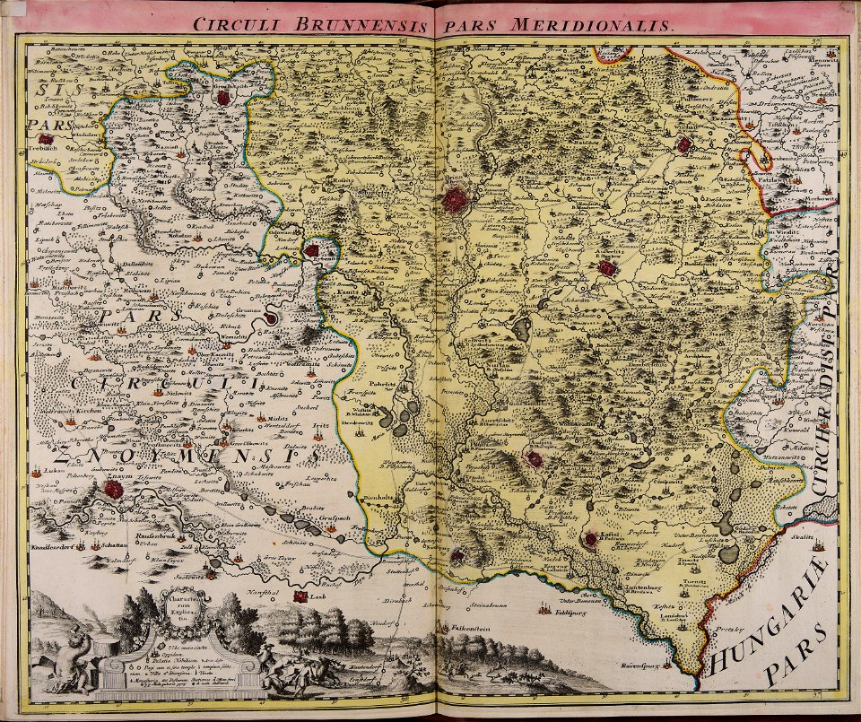
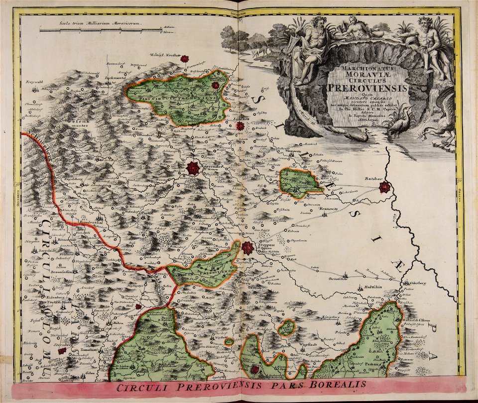
johann baptist homann
maps by pieter schenk (i)
atlantis magni tomus quintus (biblioteca comunale di trento)
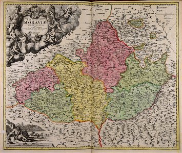
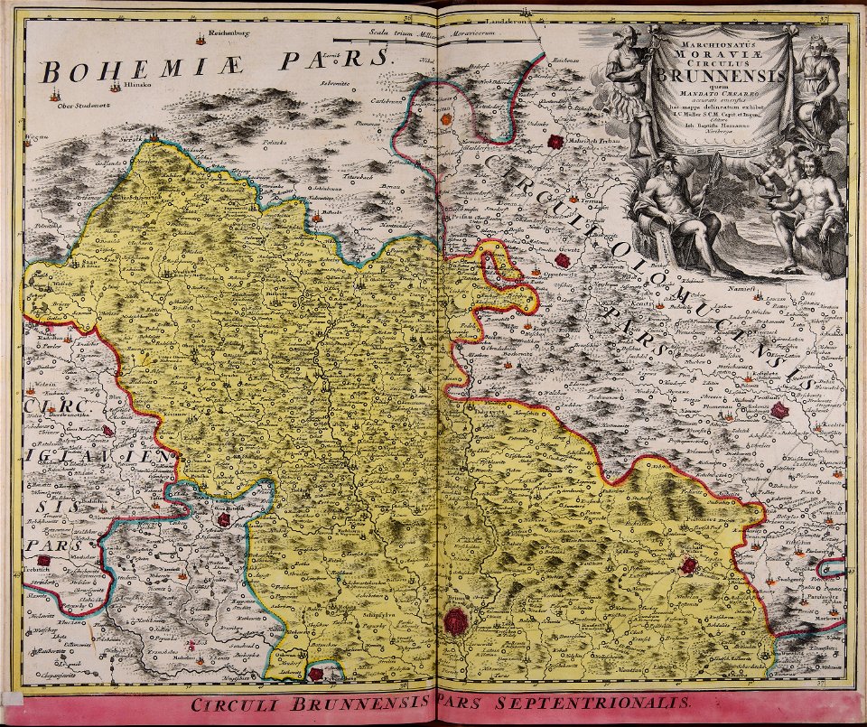
old maps of moravia
johann christoph müller
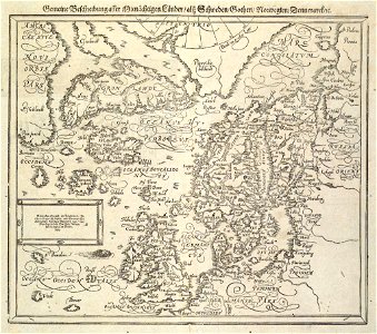
maps by johannes mejer
maps made in the 18th century
gerard valck
maps made in the 17th century
gerard valck
maps made in the 18th century
gerard valck
maps made in the 17th century
cornelis danckerts (i)
maps made in the 17th century
gerard valck
maps made in the 18th century
terra santa
copper engraving
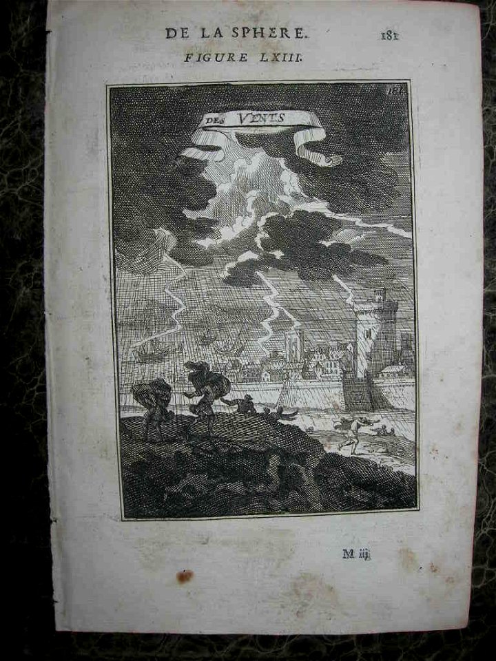
maps
coats of arms of cities in alpes-de-haute-provence
pierre gassendi
coats of arms of cities in meuse
nicolas oudinot (1767–1847)
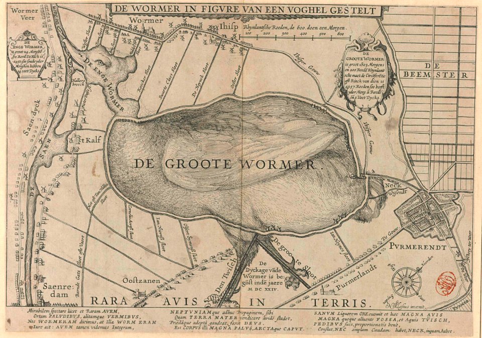
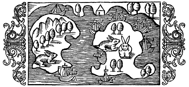
animal shape
purmerend
dendermonde
lillo
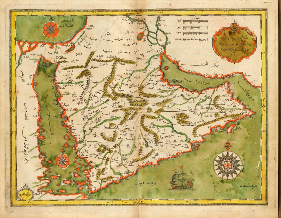
old maps of the middle east
harvard university
new market square in rzeszów
maps of 18th-century europe
maps from the mechanical curator collection available to georeference
maps from the mechanical curator collection
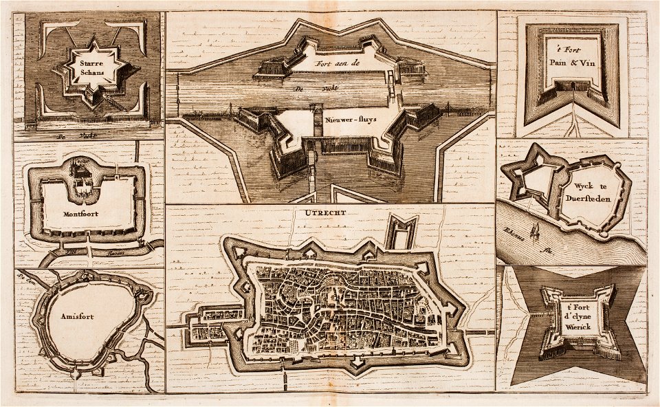
fortifications in the netherlands
wijk bij duurstede
lithographs of paris
grand châtelet
crowned eagles argent
pictorial maps
russo-turkish war (1877–1878)
old maps of europe
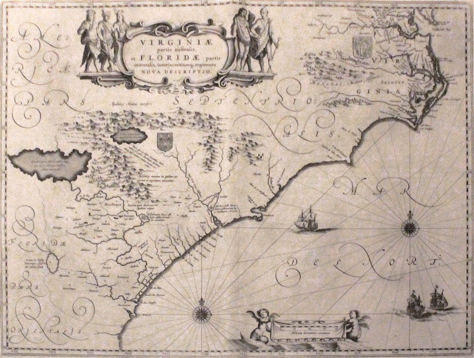
old maps of florida
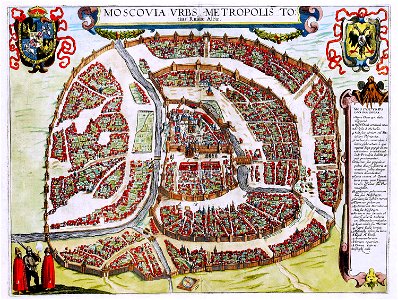
madrid
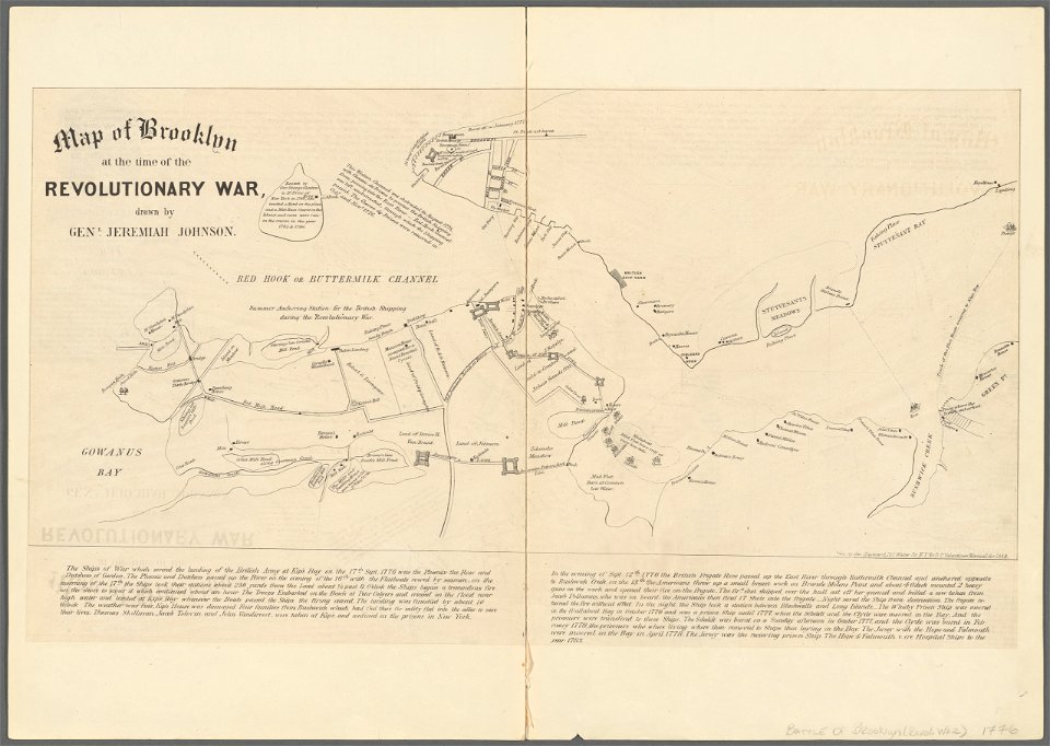
battle of long island
new york city
francis d'avignon
george hayward
francis d'avignon
george hayward
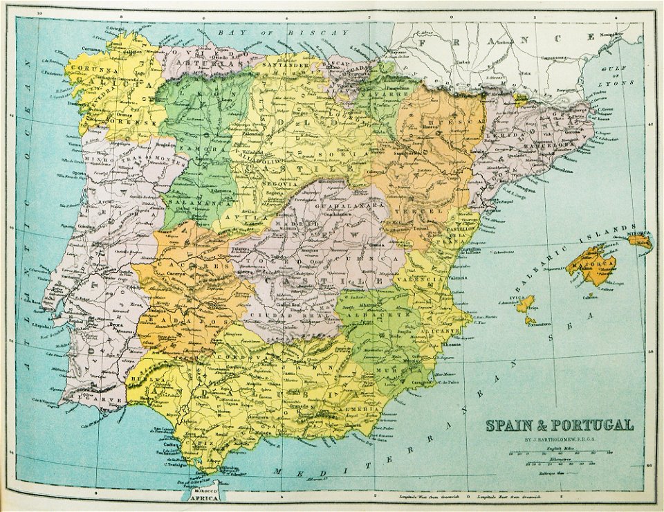
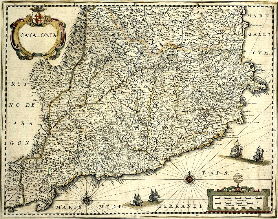
old maps of the iberian peninsula
1870 in spain
fort zeelandia, taiwan in art
siege of fort zeelandia
atlantis magni tomus tertius (biblioteca comunale di trento)
maps made in the 17th century
johann baptist homann
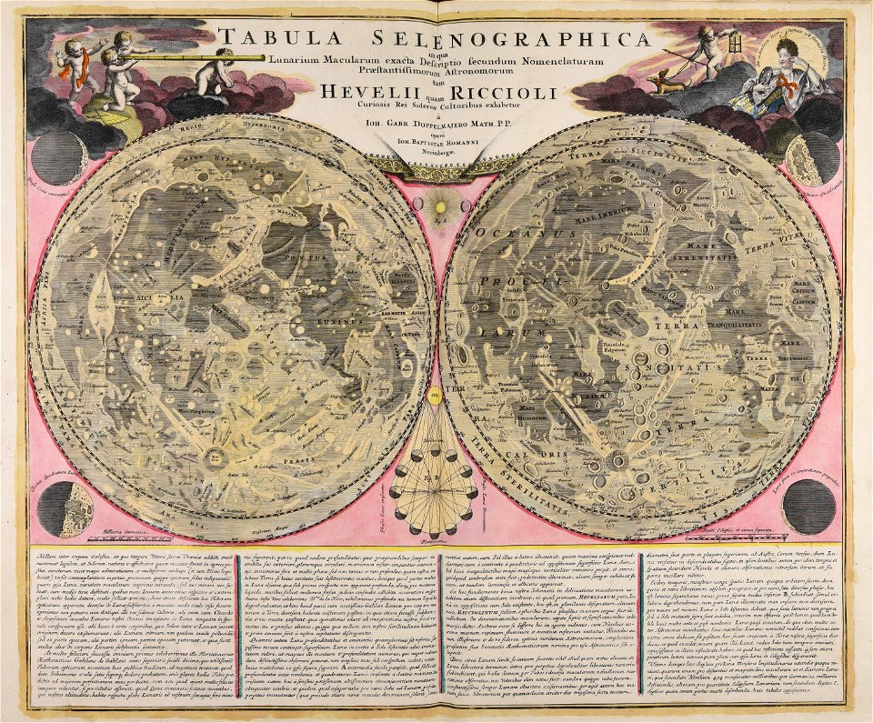
moon
maps made in the 18th century
johann baptist homann
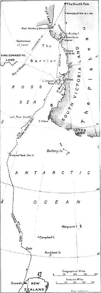
the worst journey in the world (1922
south pole
atlantis magni tomus primus (biblioteca comunale di trento)
maps made in the 17th century
works by clement de jonghe
historical views of paris
maps made in the 17th century
cornelis danckerts (i)
maps with cartouches
atlas van der hagen
maps with cartouches
atlas van der hagen
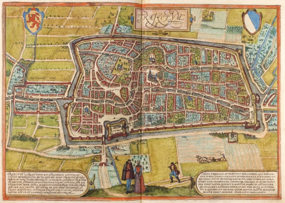
old maps of utrecht (city)
braun & hogenberg
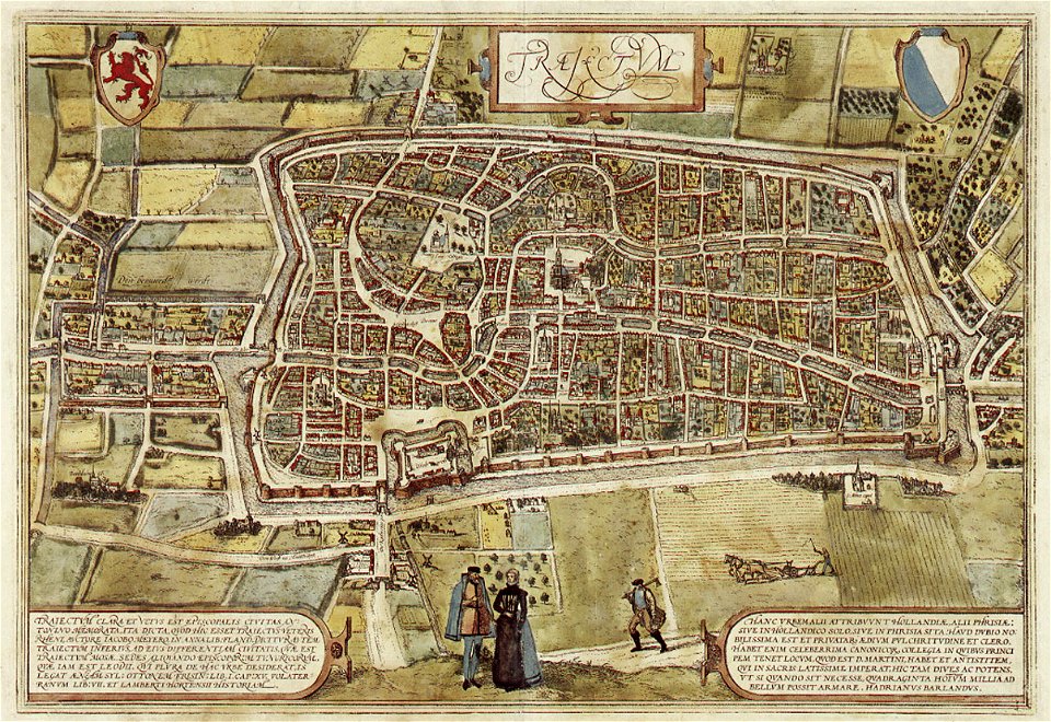
old maps of utrecht (city)
braun & hogenberg
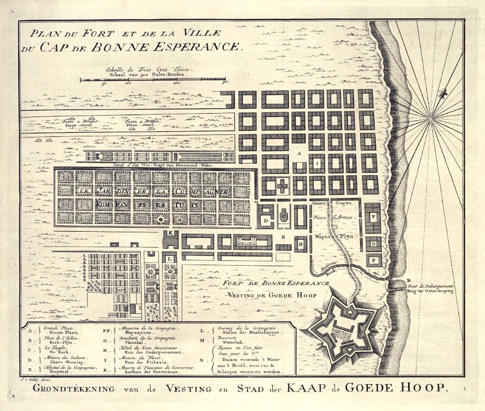
grand parade
cape town
old maps of the spanish empire
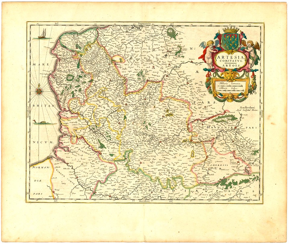
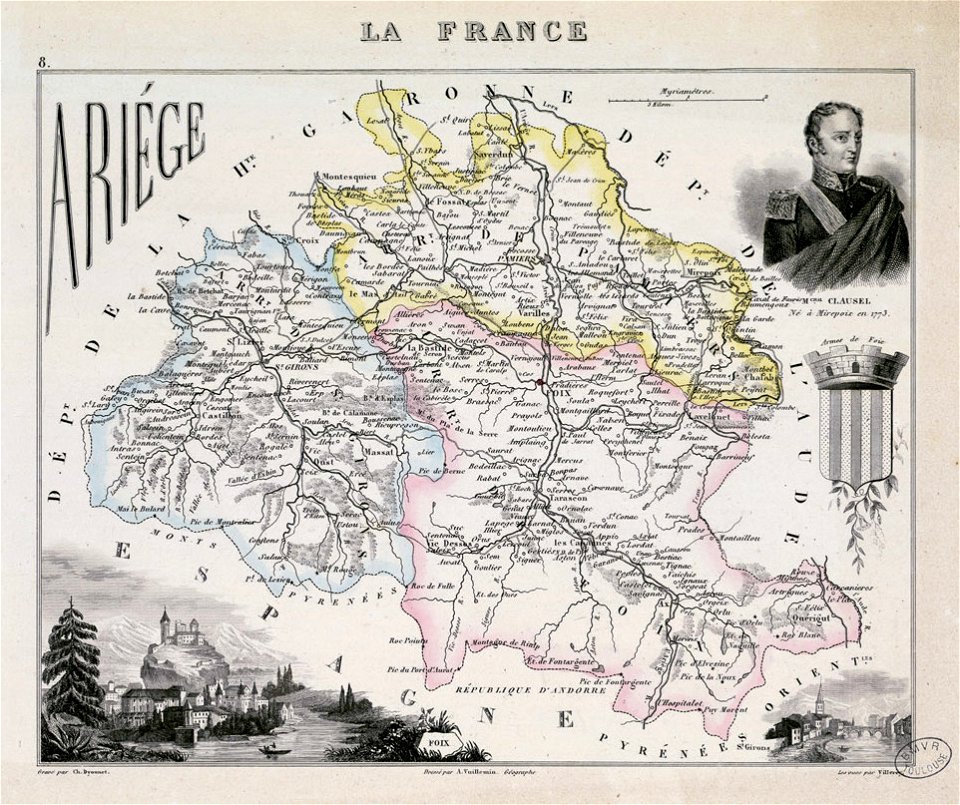
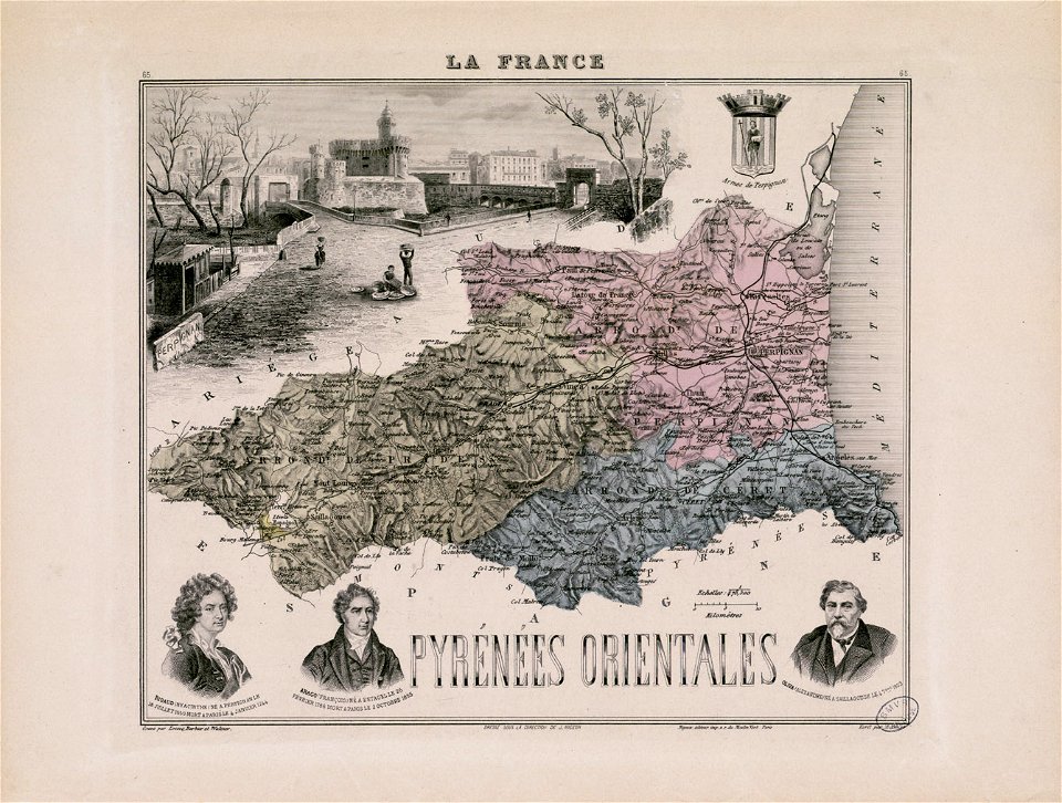
old maps of regions of france
maps by willem and johannes blaeu
spain in the 17th century
maps made in the 17th century
nicolaes visscher ii
maps from the mechanical curator collection
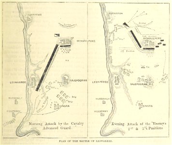
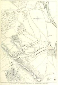
british battles on land and sea
maps from the mechanical curator collection
british battles on land and sea
fonds ancely - bibliothèque municipale de toulouse - maps
coats of arms of foix
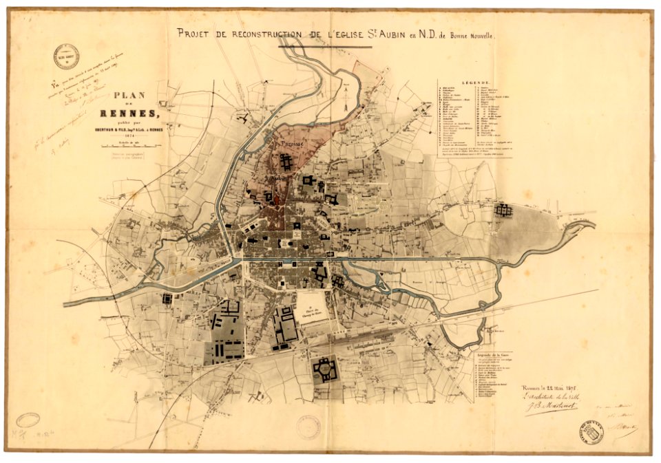
jean-baptiste martenot
1875 maps
johann baptist homann
1717
maps made in the 17th century
johann christoph steinberger
maps made in the 18th century
johann baptist homann
maps made in the 18th century
johann baptist homann
maps made in the 18th century
johann baptist homann
maps made in the 18th century
johann baptist homann
maps made in the 18th century
johann baptist homann
maps made in the 18th century
johann baptist homann
maps made in the 18th century
johann baptist homann
maps made in the 18th century
johann baptist homann
cornell: persuasive cartography: the pj mode collection
1681 maps
prints from the peace palace library
lucan
maps made in the 17th century
gerard valck
maps made in the 17th century
gerard valck
alexandre-joseph oliva
hyacinthe rigaud
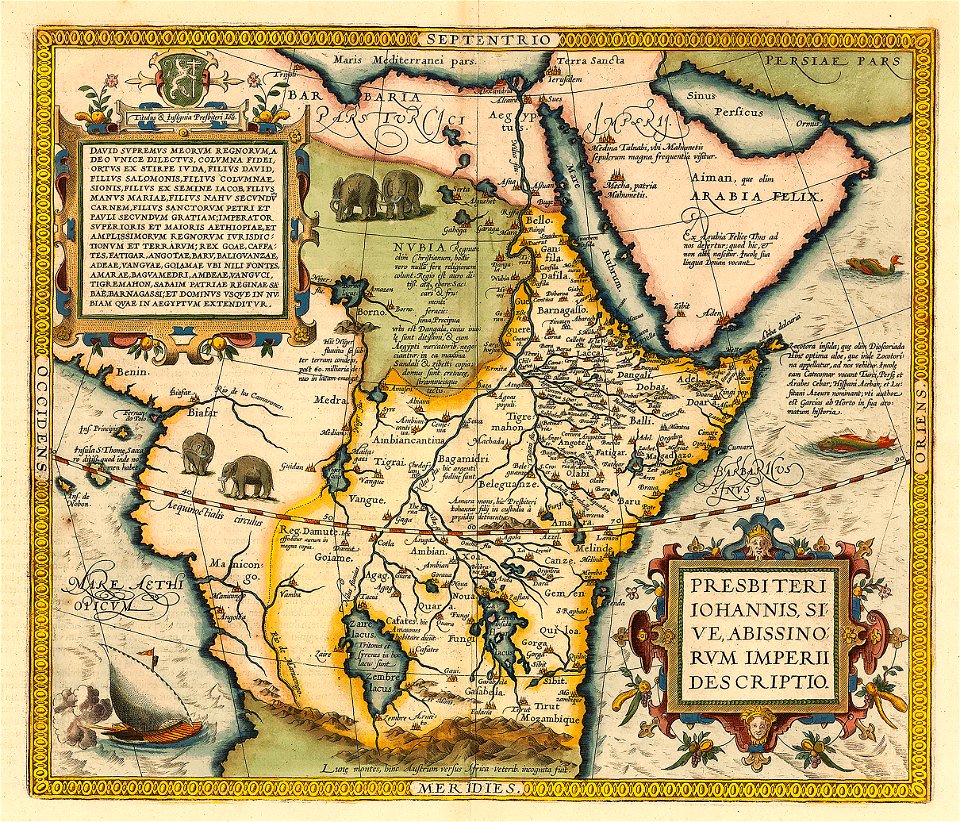
emblem of ethiopia
prester john
maps made in the 17th century
gerard valck
coats of arms of cities in hautes-pyrénées
dominique larrey
old maps of australia
western australia
maps made in the 18th century
johann baptist homann
old maps of central america
1880 maps
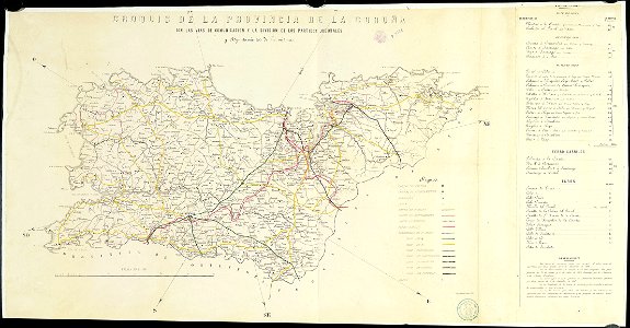
old maps of the province of a coruña
litografía de julio donón
maps with a scale of 1:40
000
gerard valck
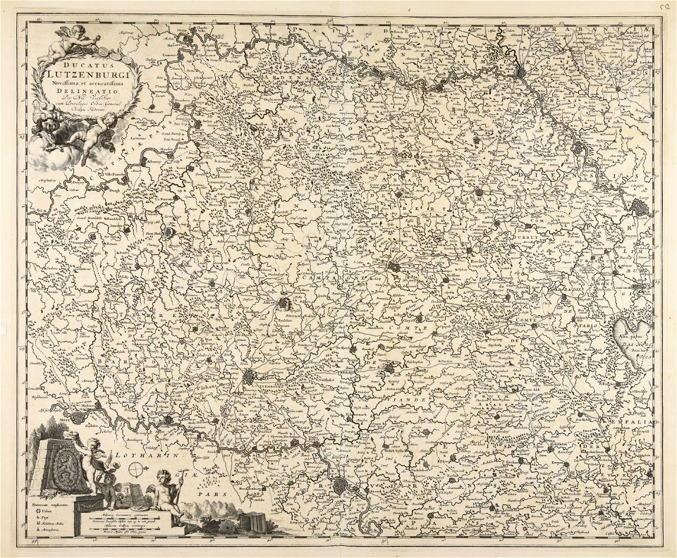
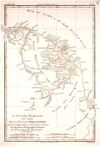
rhineland
prints from nieuhof ambassade vers la chine 1665 at the peace palace library
17th-century maps of china
haninge municipality
haninge
maps made in the 17th century
gerard valck
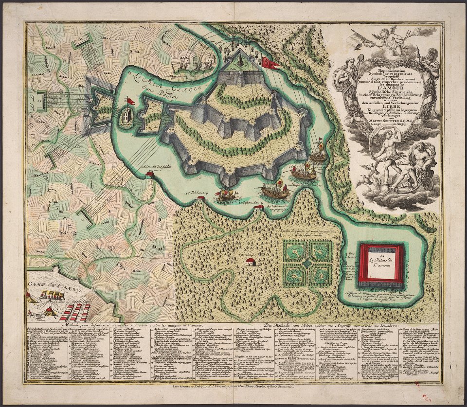
allegory
love
maps made in the 17th century
gerard valck
gerard valck
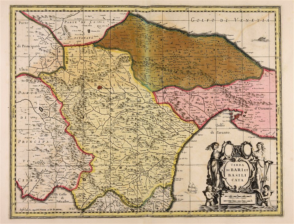
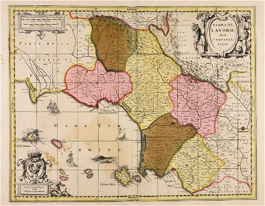
basilicata
gerard valck
campania
prints from bonne atlas de toutes les parties at the peace palace library
dien (printer)
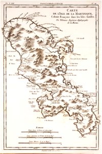
18th-century maps of martinique
dien (printer)
collections de la bibliothèque nationale et universitaire de strasbourg
000
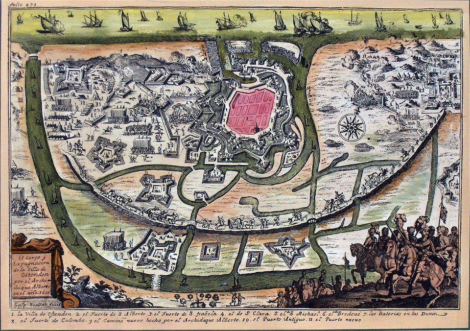
siege of ostend
low country
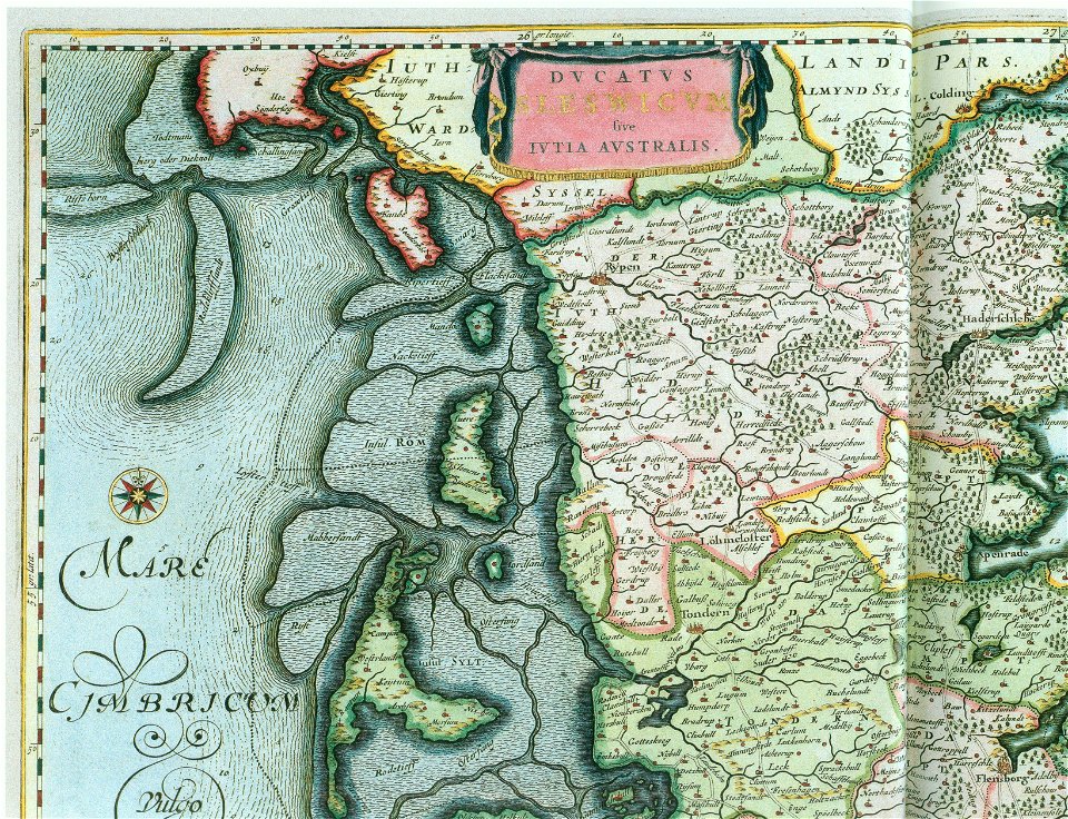
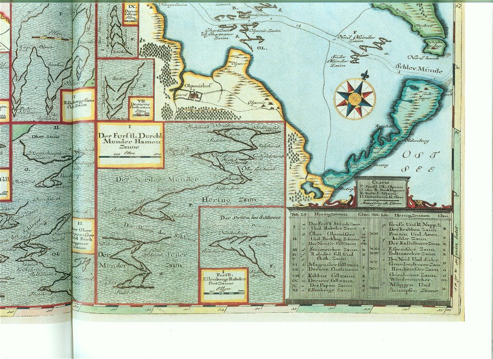
ducatus sleswicum sive justia australis
maps by johannes mejer
ducatus sleswicum sive justia australis
maps by johannes mejer
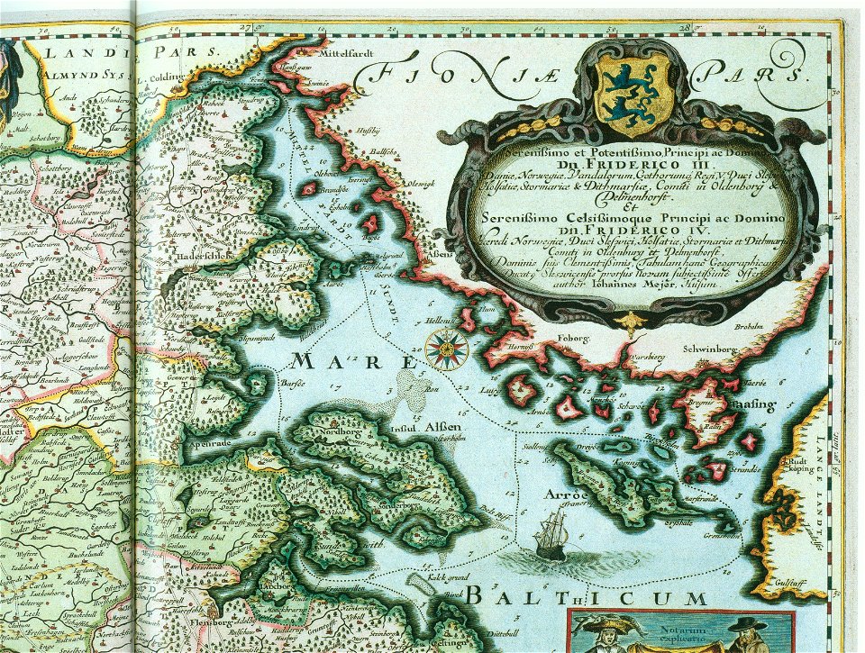
maps by johannes mejer
schlei
maps by johannes mejer
schlei
maps by johannes mejer
schlei
ducatus sleswicum sive justia australis
maps by johannes mejer
maps by johannes mejer
schlei
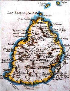
old maps of mauritius
robert surcouf
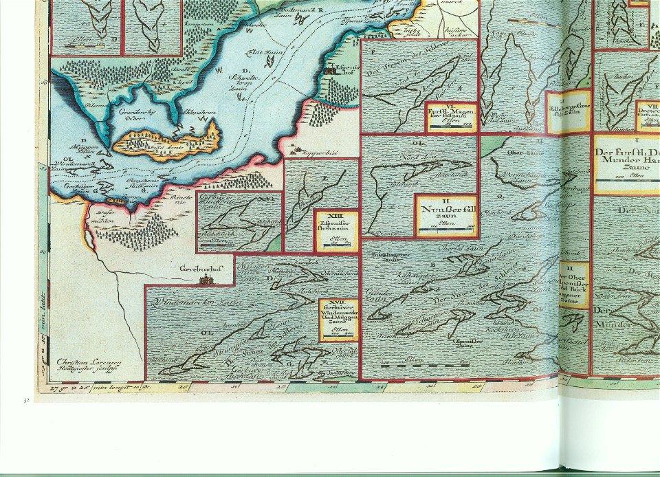
plans of castles in lower saxony
1890s maps
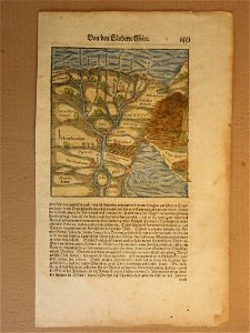
cosmographia (1600) by sebastian münster
1600s maps of egypt
itinerarium hierosolymitanum et syriacum..., 1619
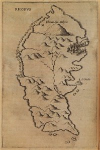
old maps of rhodes
lepsius-projekt - pyramids
lepsius-projekt - maps
provided by landsbókasafn íslands
16th-century maps of iceland
sicilia (galleria delle carte geografiche)
old maps of sicily
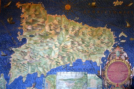
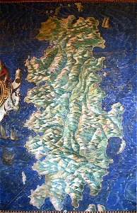
sardinia (galleria delle carte geografiche)
old maps of sardinia
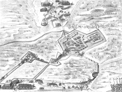
old maps of bredevoort
pikemen
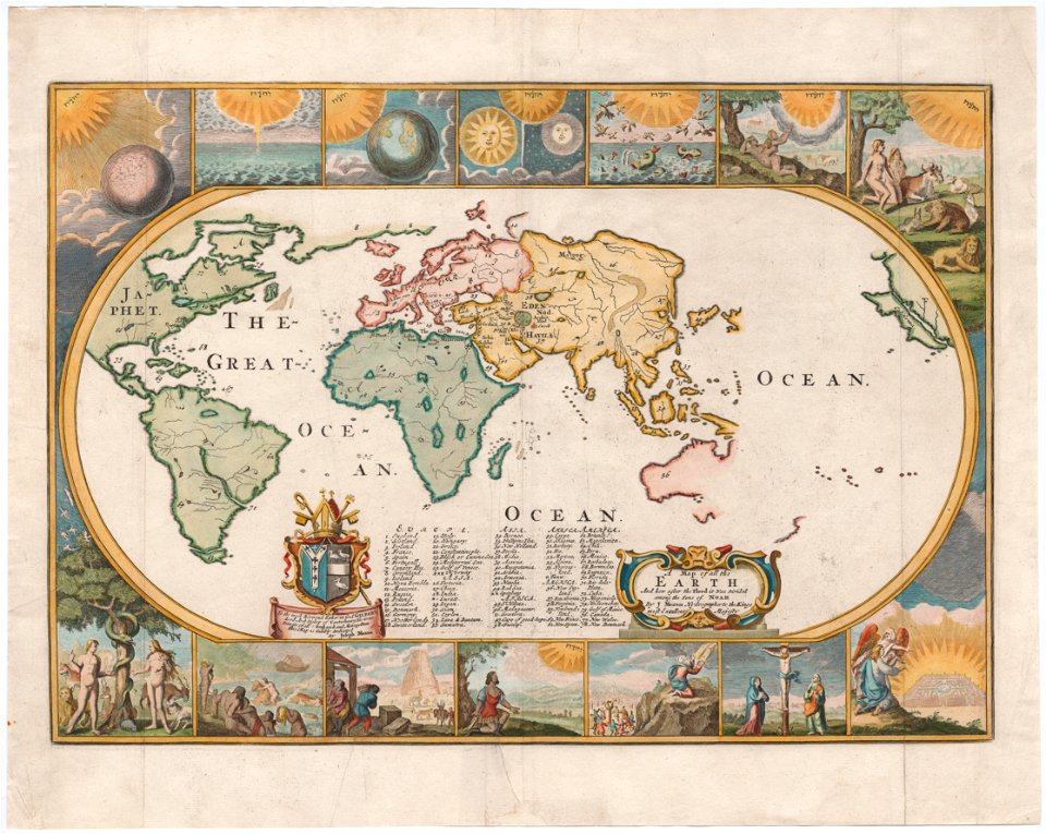
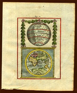
18th-century maps of the world
description de l'universe
18th-century maps of the world
description de l'universe
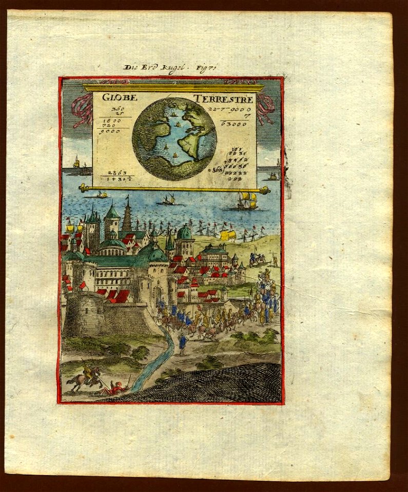
17th-century maps of the world
description de l'universe
17th-century maps of the world
description de l'universe
geographical illustrations by coronelli
old maps of the peloponnese
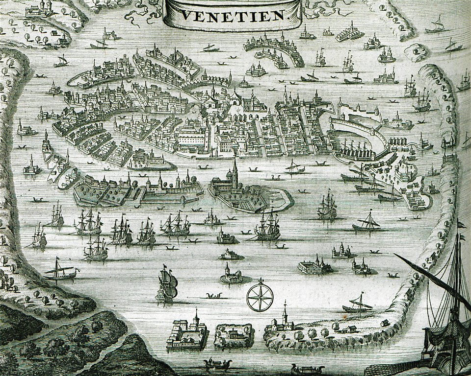
old maps of venice
venice in art
6801 - 6900 of 33,167
Next page
/ 332